Old Ordnance Survey Map Shipley & Saltaire 1906
A reproduction of the 1906 Ordnance Survey Map, part of the Godfrey Edition
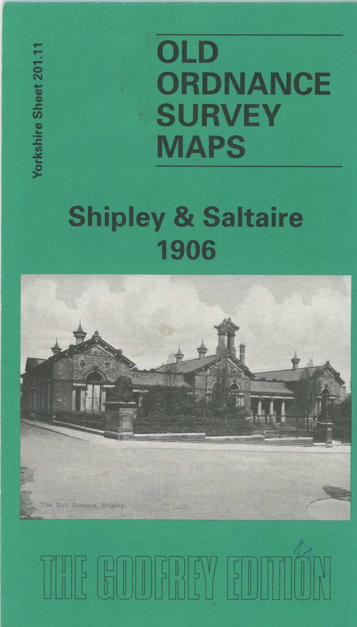
A reproduction of the 1906 Ordnance Survey Map, part of the Godfrey Edition. Yorkshire Sheet 201.11. On the back of the map there is modern text of a brief history of Shipley from 1775 up to the first years of the twentieth century. There is also a reproduction of a street index of Shipley from 1906.
Related items
The Bradford Antiquary The Journal of the Bradford Historical and Antiquarian Society Third series No.16 2012
The Bradford Antiquary 2012
document
Includes snippet about Saltaire Park and Sir James Roberts
The Saltaire Journal Vol.1 No.4 March 2010. The Whitlam Family?....Who are they?
document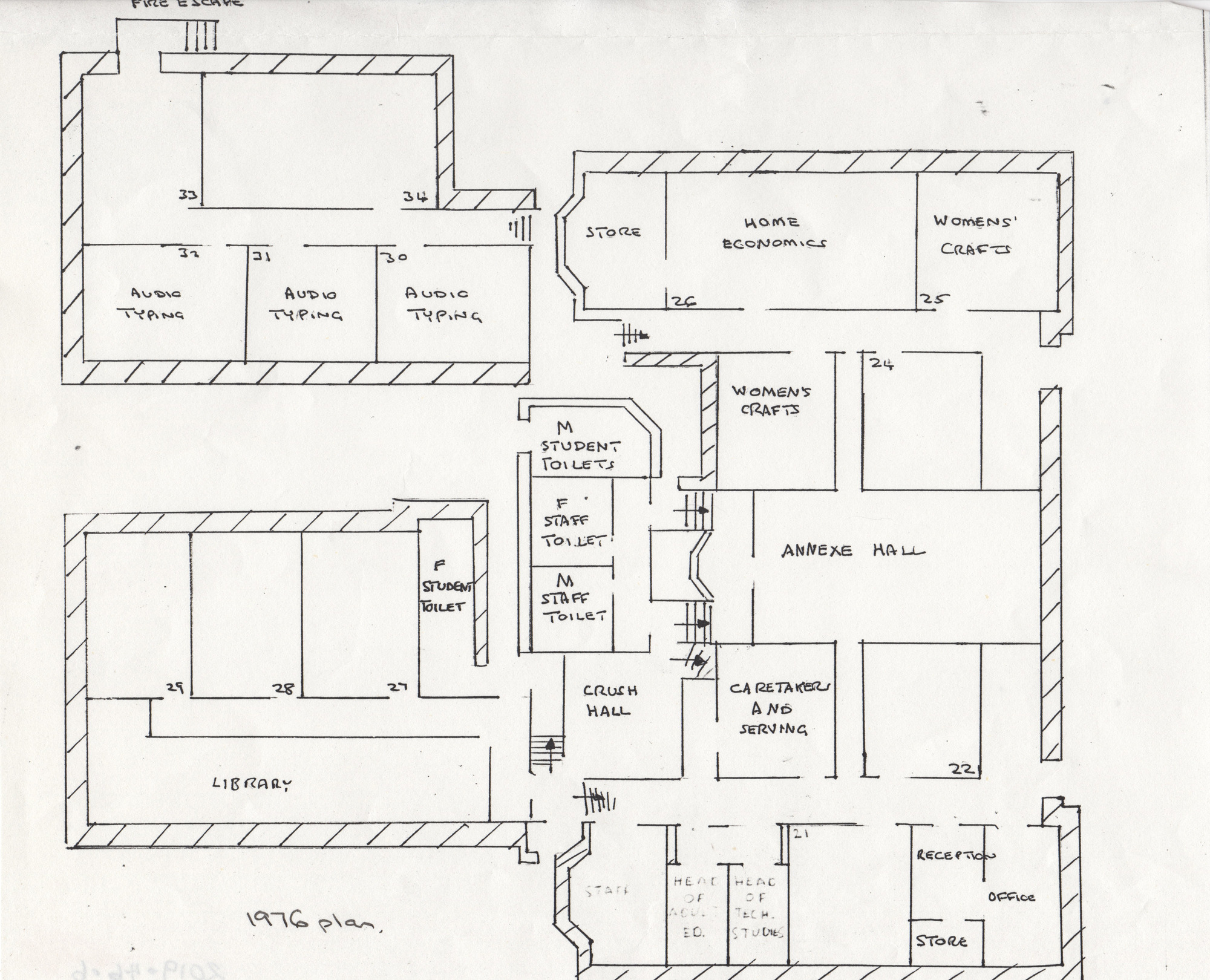
1976 plan of Shipley college - black and white - showing annexe hall, rooms, typing rooms, womens crafts, library etc.
1976 Plan
map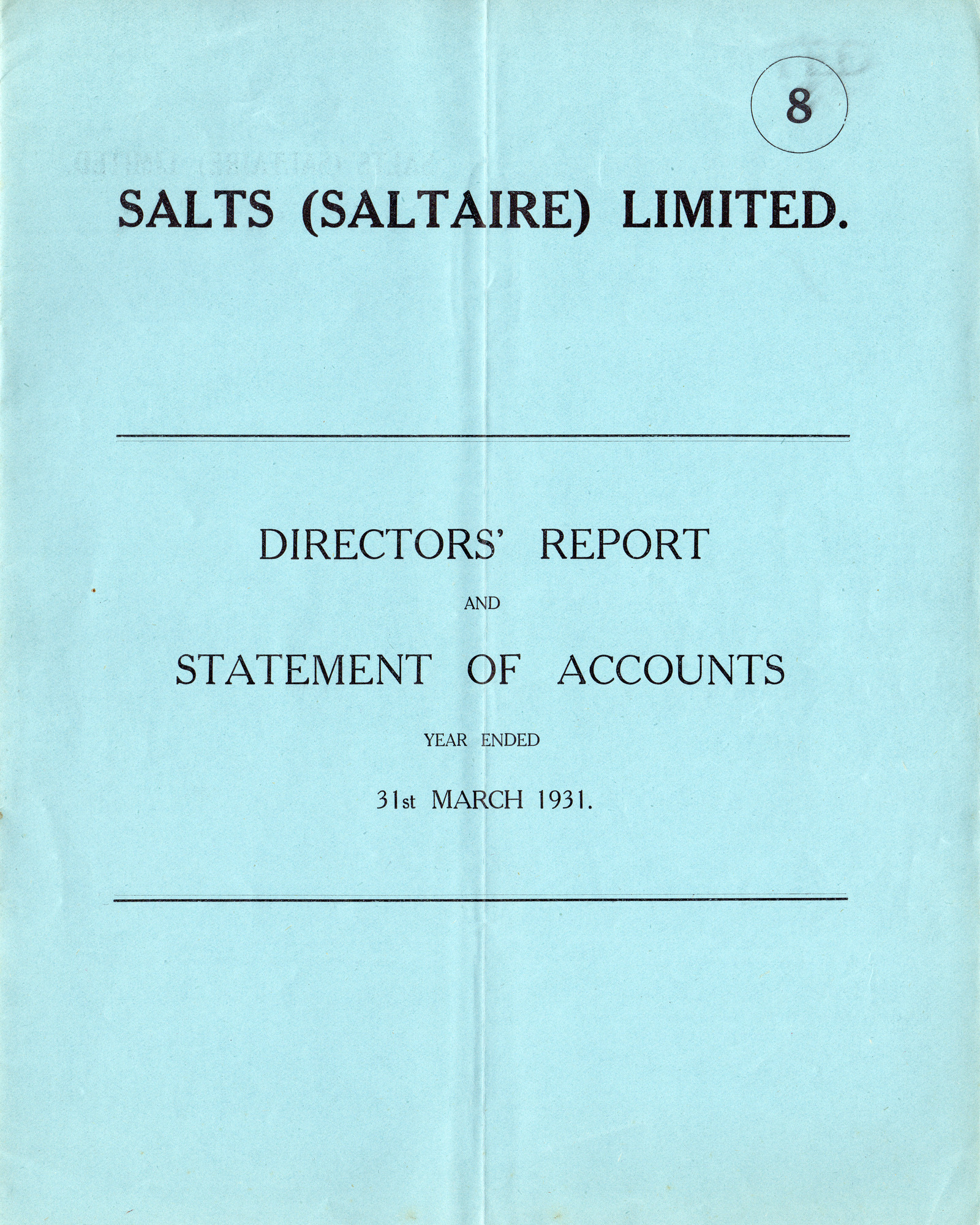
Salts (Saltaire) Ltd Directors Report and Statement of Accounts : 31st March 1931
Salts (Saltaire) Ltd Directors Report and Statement of Accounts : 31st March 1931
document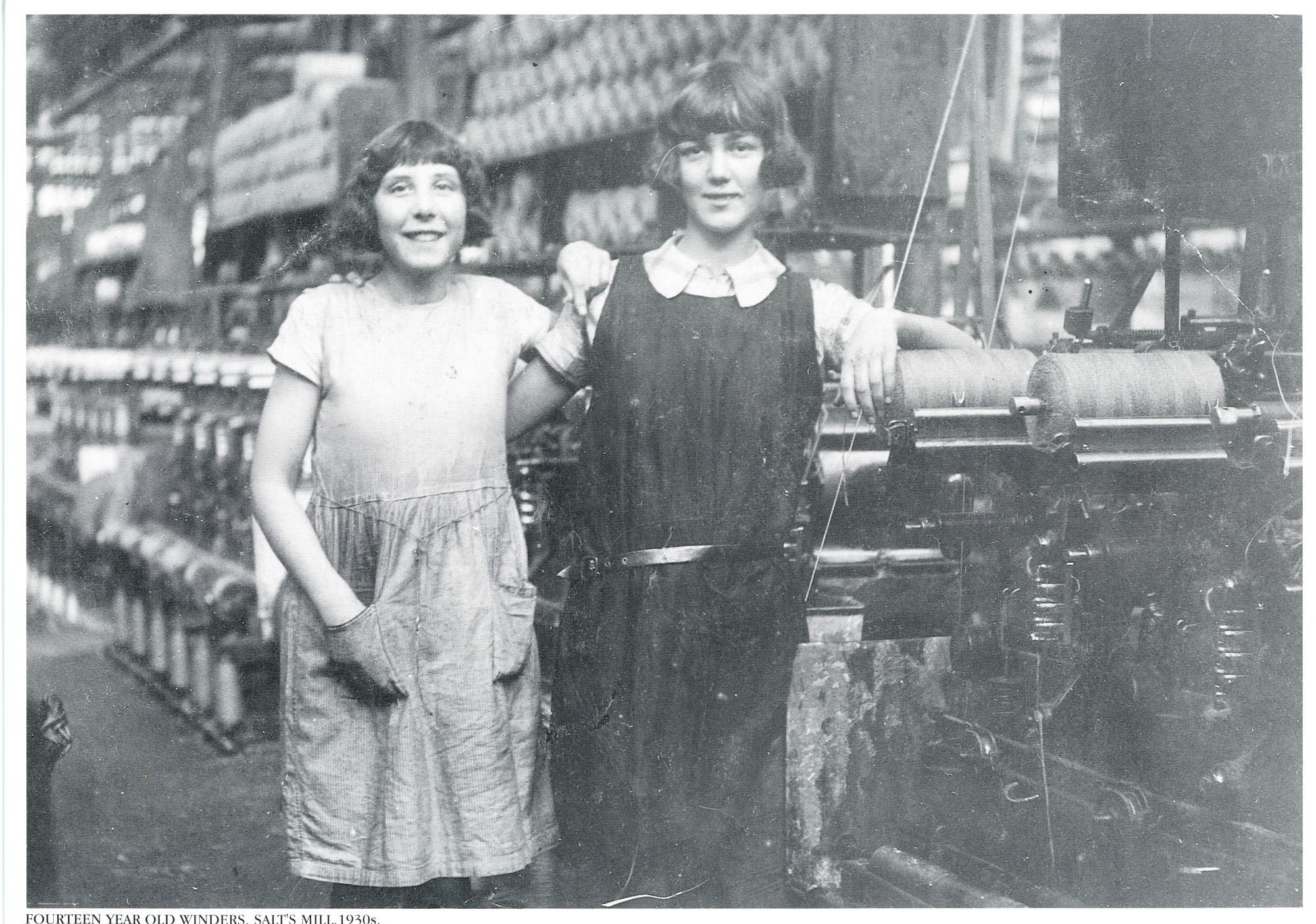
Fourteen year old winders (mill workers) Salt's Mill 1930s
Fourteen year old winders Salt's Mill 1930s
photograph
A book of black and white photographs mainly from the commercial archive of Wood Visual Communications, Bradford